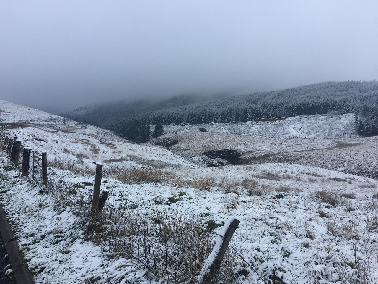
Monday night saw sub-zero temperatures for much of the UK, reaching as low as -11.2°C at Braemar in Aberdeenshire. Snowfall has also begun, with 12cm of lying snow reported at Watnall, Nottinghamshire on Tuesday morning as an Arctic airmass continues to influence the UK’s weather.
Warnings issued
Met Office National Severe Weather Warnings for snow and ice have been issued for the next few days, covering northern Scotland, Northern Ireland and eastern coasts of England, as well as parts of Wales.
Met Office Chief Meteorologist Neil Armstrong said: “With cold Arctic air firmly in place over the UK, continued winter hazards are likely through much of this week, with further updates to warnings likely in the coming days.
“The current focus for upcoming snow and ice risk is from later on Tuesday and overnight into Wednesday, with snow showers likely moving in off windward coasts in the north and east, as well as drifting into parts of Northern Ireland and Wales.
“In excess of 10cm of snow is possible over higher ground within the warning areas, with 1-2cm possibly settling at lower levels, which has the potential to lead to some travel disruption. Ice is an additional hazard and is likely to form quickly on untreated surfaces.”
⚠️ Yellow weather warning issued ⚠️
Snow and ice across parts of eastern and northeastern England, and southeast Scotland
Tuesday 1800 – Wednesday 1200Latest info 👉 https://t.co/QwDLMfRBfs
Stay #WeatherAware⚠️ pic.twitter.com/lbnLdVmdEw
— Met Office (@metoffice) November 19, 2024
National Highways Severe Weather Resilience Manager, Darren Clark said: “Gritters will be out treating our roads around the clock when ice or snow is forecast, but it is still important to drive to the conditions.
“Keep your distance and reduce your speed, because even in conditions that seem normal, and where the snow is not settling, it can be slippery if ice patches have formed, or where fresh grit has not been worked into the carriageway.
“Drivers should plan their journeys, monitor weather reports and pack a snow kit of blankets, food, water and a shovel.”
Find out more about preparing for severe weather on our WeatherReady pages.
In addition to the severe weather warnings, amber and yellow Cold Health Alerts have been issued by the UKHSA, which provides alerts for the health sector in England.
Further hazards likely in a cold week
Cold northerly winds will continue through the week across much of the UK, with further warnings likely. Daytime temperatures will be in the low single figures for most, potentially slightly less cold in the far south, though a wind chill means it will feel cold for many. Despite the below average temperatures, there will be a good deal of sunshine away from the wintry showers near the coasts.
Further snow accumulations are expected through the week, mostly by night at low levels, in northern Scotland and exposed parts elsewhere. There remains a possibility of a more organised band of rain and hill snow affecting the southwest through Thursday as a larger system runs into the continent, though there remains some uncertainty on this element of the forecast.
Turning milder and wetter for the weekend
Temperatures are likely to increase from the southwest this weekend, though this will be accompanied by some strong winds and heavy rain. There’s also likely to be further snowfall in the north for a time, mainly over higher ground, as part of the transition to the milder regime, with further detail likely on this element of the forecast in the coming days.
Met Office Deputy Chief Meteorologist Mike Silverstone said: “A deep area of low pressure looks likely to influence the UK’s weather this weekend. While this will bring in milder air to most parts, it also brings with it some heavy rain and strong winds at times. It’s too early for precise detail, but there’s a potential for further warnings.”
You can find the latest forecast on our website, on YouTube, by following us on X and Facebook, as well as on our mobile app which is available for iPhone from the App store and for Android from the Google Play store.

Met Office


