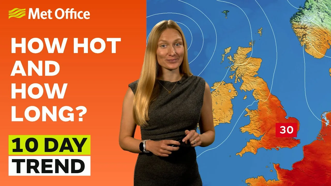
A ‘tropical night’, where temperatures do not fall below 20°C overnight, is possible on Friday night into Saturday in parts of the southeast. The exception to these increased temperatures will be in western Scotland and Northern Ireland, which will often remain cloudy with rain at times.
The warmth is unlikely to last more than a few days, with a return to the cooler, more unsettled weather like we’ve been used to so far this July, by the weekend.
What’s behind the change in weather?
When looking at the underlying patterns behind the UK’s weather, the jet stream plays a prominent role, and that has been the case in recent weeks.
Speaking in the Met Office’s 10-Day Trend video on YouTube, Meteorologist Annie Shuttleworth said: “For the last few weeks, we’ve been on the northern side of the jet stream and over the next few days, its position will change. It becomes a more amplified pattern, diving down well to the south of the UK and taking low pressure systems up to the north and west of the UK.
“But, as we head towards the weekend, Sunday most likely, will see the return of the stronger jet core to affect the UK, meaning it is going to turn a bit more unsettled and certainly cooler again.”
Over the next few days the jet stream will move north
Whilst northwestern areas hold onto some unsettled conditions, it will briefly turn much warmer elsewhere pic.twitter.com/KyOEvE7qGq
— Met Office (@metoffice) July 17, 2024
Outlook for the next few days
A cloudy start across Northern Ireland and parts of Scotland on Thursday, with some rain or drizzle at times, which could be heavy locally. Elsewhere, a dry and warm day is in store for much of England and Wales, temperatures in the mid 20°Cs, potentially reaching 28°C in the southeast.
There’s very little change as we head into Friday, apart from the fact that we’ll start to see that heat build even further, with very high UV levels in some areas. The Greater London area could potentially see temperatures of 31°C, and quite widely temperatures will be in the high 20°Cs across many central and southern areas of England. Overnight temperatures will also be very warm.
Northern Ireland, northern England and much of Scotland will be feeling cooler, with the potential for some cloud and rain.
Will we see a heatwave?
Temperatures need to hit or exceed a particular value for three consecutive days for it to be considered a heatwave. Although a few locations may reach their criteria for three days in a row this week, for most of us it’s going to be one or two days of warmth before the cooler air arrives.
Cooling down for the weekend
We’ll start to see a thundery breakdown from Friday night into Saturday as a front makes its way eastwards, starting on the western side of the UK. Timings remain uncertain, but the further west you are, the more likely you are to see that breakdown into the cooler weather earlier in the day on Saturday.
Areas in the east could still see temperatures of up to 30°C on Saturday if the weather front stays at bay long enough. We could see some very heavy bursts of rain as the day progresses, with the potential for thunderstorms in eastern England on Saturday afternoon into evening.
You can find the latest forecast on our website, on YouTube by following us, on Twitter and Facebook, as well as on our mobile app which is available for iPhone from the App store and for Android from the Google Play store.


