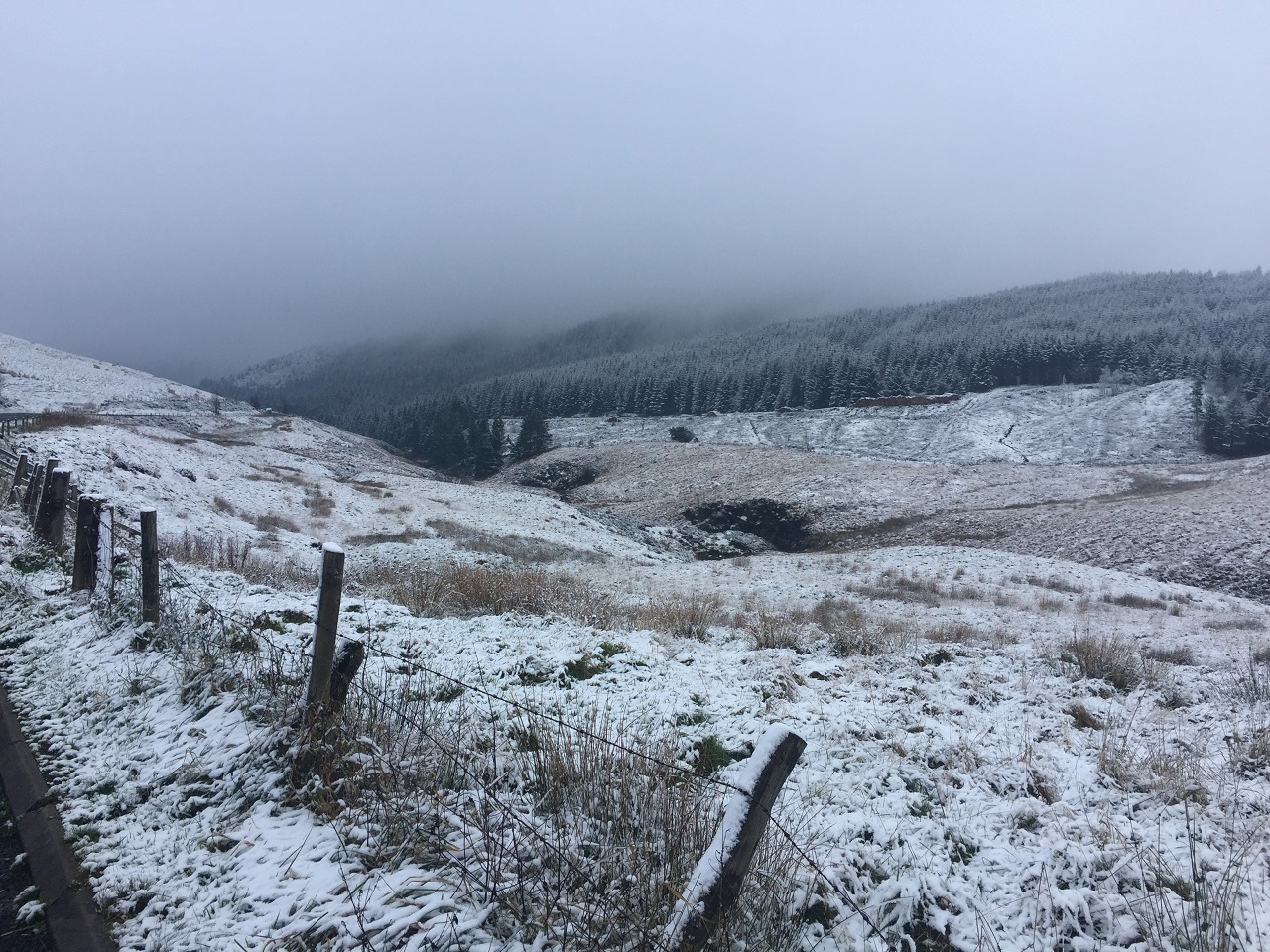
A northerly airflow is continuing to subdue temperatures for the UK, with sub-zero figures likely for many over the next few nights and low single figures in the day for many.
A number of Met Office National Severe Weather Warnings have been issued for snow and ice, with the highest accumulations of snow likely over high ground in Scotland, but still providing some disruption at lower levels at times. Snow is also likely in parts of the southwest through Thursday.
⚠️ Yellow weather warning issued ⚠️
Snow and ice across northern and western parts of Scotland
Wednesday 1000 – Thursday 1200
Latest info 👉 https://t.co/QwDLMfRBfs
Stay #WeatherAware⚠️ pic.twitter.com/k41XHlMwid
— Met Office (@metoffice) November 20, 2024
Met Office Chief Meteorologist Matthew Lehnert said: “A northerly airflow will continue to feed snow showers into Scotland over the next few days, with this reaching lower levels at times and bringing the potential for some travel disruption.
“Overnight temperatures will drop below zero fairly widely over the next few days, which has resulted in some ice warnings, with further warnings likely through this week.
“On Thursday, a mixture of snow, sleet and rain is likely to affect the southwest which could potentially bring disruption. It’s likely high ground in the area will see snow, with a mixture of conditions likely at lower levels. 2-5cm of snow is possible in places at lower levels, with around 10cm possible over higher parts of Dartmoor.”
RAC Breakdown spokesperson Alice Simpson said: “The first taste of winter means drivers are suddenly contending with the some of the worst road conditions we’ve seen all year. With freezing temperatures already causing disruption in the east and north of England, Wales, Scotland and Northern Ireland, and snow showers now affecting regions further south, we advise motorists to plan well as ice forms on untreated surfaces.
“Drivers should ensure their tyres have plenty of tread and are inflated to the correct pressure to give them the best possible grip on the road. It’s best to stick to major roads, rather than rural areas where surfaces may not be gritted, reduce speeds and leave plenty of space behind the vehicle in front to ensure you have more time to stop. Everyone should travel prepared in case they find themselves broken down at the side of the road: a blanket, warm waterproof coat and gloves, sturdy footwear and a charging cable and mobile power bank are all essentials.”
Turning wet and windy in the weekend
Friday will see a brief respite for some, while snow showers will continue to feed into northern coastal areas, topping up snow accumulations over high ground but reaching lower levels at times.
However, Saturday will see a shift to more widely wet and windy conditions, with warnings already issued to highlight potential disruption from rain and snow.
Met Office Deputy Chief Meteorologist Mike Silverstone said: “Winter hazards will gradually diminish through the weekend, though they will hold on longest in northern Scotland. Substantial snowfall is expected across much of northern England and Scotland for a time on Saturday, mainly over higher ground.”
The shift to milder air will be accompanied by heavy rain and strong winds through Saturday and into Sunday, with low pressure in charge of the UK’s weather.
Mike continued: “Rain on Saturday and into Sunday is likely to be impactful for some, which has resulted in warnings being issued for Wales and parts of the southwest. Widely, 50-75 mm is expected within the warning areas, but in excess of 150 mm of rain is possible over high ground in south Wales. Strong winds are likely to exacerbate impacts and brings the potential for travel disruption as well as flooding for some.”
Unsettled weather is likely to continue on Sunday and into the start of next week, with an area of low pressure gradually crossing northern parts of the UK.
You can find the latest forecast on our website, on YouTube, by following us on X and Facebook, as well as on our mobile app which is available for iPhone from the App store and for Android from the Google Play store.

Met Office


